

Chris Goddard's hand-drawn guide to walking the moors
Thursday, 28 November 2013
 Chris Goddard's book is entitled The West Yorkshire Moors with the sub-title: a hand-drawn guide to walking and exploring the county's openaccess moorland.
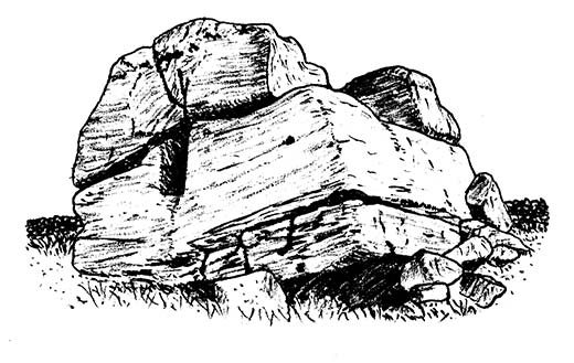
The book itself is a superb work with wonderfully drawn sketches, buildings, rocks and maps. Chris has been meticulous in his research and has spent six years preparing this book
As well as describing in details dozens of moorland walks, we learn about the history of the moors, the geology, the different customs for naming hills and valleys and how the Countryside and Rights of Way Act of 2000 changed everything, allowing access to the people. We can now explore like never before. In fact, Chris points out that ten years ago such a book would not have been possible.
Chris laments the inadequacy of the Ordnance Survey maps when it comes to our local moors. One thing he found remarkable during his first walks after moving to Hebden Bridge was the failure of the OS Maps to fully convey the paths across the moors. "The map shows public footpaths where there are just swathes of heather and bog, and then you stumble across a fine path (like the one along Sheeps Stones Edge) that is not shown at all."
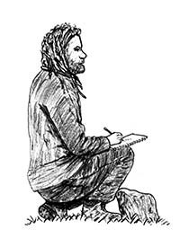
Originally from Sheffield, Chris describes himself as "obsessive cartographer" and has been been drawing maps for as long as he had been able to hold a pencil. He works as a footpath and surveyor.
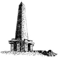
The main part of the book is divided into chapters for each of the summits in West Yorkshire over 400 metres and these include Stoodley Pike, Boulsworth Hill, Blackstone Edge, Gorple Hill and Withins Height (including Wadsworth Moor)
 Throughout the book, there are also fascinating pages on the many places of interest: Blackstone Edge, the reservoirs of West Yorkshire, Top Withins and the Brontës, Castle Carris Estate, Stoodley Pike, stone circles and burial cairns of Rombalds Moor, quarries, fell running, the endangered twite, the elk and bison carvings of Boulsworth Hill, the Civil War in the South Pennines,the future of the moors, and more.
One small critcism is that if the book's dimensions were increased by perhaps 20-25%, that would have allowed some of the smaller text to be a little larger and also permit the main text not to run so close to the margins.
This is a book you have to see for yourself. It is almost like no other. For those who love our wonderful open spaces, it is a real treasure.
For each summit, there are detailed maps of all the moorland within their scope. The maps are designed to be used for inspiration and for exploring places and paths off the beaten track. The book hopes to give readers the confidence to freely explore those beautiful open spaces right on our doorstep.
Chris was aware that comparisons would be made between his book and those of Alfred Wainwright. So he took the decision not to look at any of Wainwright's maps while he was producing his book. When he finally did look at Wainwright's books, he was shocked at how much detail his book had in comparison. Such detail will be very useful to anyone exploring the smaller paths and features of the moors.
Book Launch
The book will be officially launched at The Bookcase on Thursday 5th December at 6.30pm, when there will be an opportunity to meet the author, ask questions and buy a signed copy of the book over a free glass of wine and a mince pie.
See The West Yorkshire Moors website for more info about the book.
The West Yorkshire Moors is available from The Bookcase, Fox and Goose and online